Research and implementation of GNSS satellite signal simulator
Article Source:SHENZHEN ECREDIX TECHNOLOGY CO.,LTD.Popularity:2864Time:2016-02-20 14:32:38【SmallInBig】
Satellite navigation system is able to provide global coverage, all-weather, high precision satellite navigation and positioning system of 3D navigation and positioning capabilities, the system is mainly used in deep space exploration, sea and air navigation, geological exploration, field of vehicle positioning system, currently its users are at an annual rate of more than increase, and gradually formed a following of mobile communication and Internet and a large information industry, such as the United States, Russia, the European Union and the Beidou satellite system Chinese belong to the satellite navigation system. In the early years of the 21st century initial stage, U.S. government agencies including the Department of defense of the satellite system, three-dimensional positioning of the National Aeronautics and space administration the Ministry of transportation and the interest, and that the best three-dimensional positioning system should have the following characteristics of continuous global coverage, all-weather work, can provide the service platform for high dynamic and high precision. So the concept of form, referred to as global positioning technology. From the beginning of the 1960s, the United States started to develop a global positioning system, the project after years, costing billions of dollars at the end of the year to initial operation, positioning and time service to meet the prediction accuracy of the relevant provisions of the full operation at the beginning of the year, a product has satellite constellation all in place, but also to meet the best three-dimensional positioning system proposed in the standard. From the beginning of the end of, by the former Soviet Union also started the construction of the system, and finally by Russia in the system is built, with initial operational capability in years, until the beginning, to realize the full deployment of Diao constellation. Space constellation system, composition the satellite, which is a satellite, a backup satellite. Satellite distribution in an elliptical orbit equispaced plane, satellite distribution of each track on the same orbital plane Intervals of the satellite. Satellite orbit plane relative to the earth's equatorial plane inclination for. Orbital eccentricity of, difference of each orbit plane of the RAAN. Satellite with an average height of, operation cycle for small time, repetition period of the orbits of the earth for days, synchronous orbit cycle as a circle.
Due to the satellite orbit inclination angle is greater than the satellite orbit inclination, so in the high latitude. Visibility over the region better. In the constellation complete, anywhere in the world, at any time at least observation satellites.
The EU executive Portsmouth constitutive European Commission published a European satellite navigation system "Galileo", it is a system independent of the United States and Russia's global positioning system, satellite navigation system designed specifically for the civilian world. "Galileo" is a kind of highly circular orbit satellite positioning scheme, system consists of navigation satellite constellation and ground facilities, service center, user receiver. "Galileo" satellite navigation system will launch a total of satellite, which is a satellite, a satellite satellite. To prepare for the height of a kilometer, located in the orbit plane angle. In addition to the system. In a highly round orbit satellite, and ground the control center. In August, "Galileo" satellite navigation system project officially started, the first experimental satellite "a" date from the Russian "alliance" rocket from Kazakhstan The Baikonur Space Center launched second satellites is expected to launch in early years, "Galileo" satellite navigation system will include satellites, and officially opened at the end of the year. The "Galileo plan", mainly in order to get rid of dependence on the United States to break the U.S. monopoly system, global satellite navigation and positioning industry, Europe Industrial and commercial benefits at the same time, the establishment of a common European security and defense system to win conditions. "Galileo is responsible for the program jointly by the European Space Agency and the European Commission. ESA is responsible for determining the spatial system and ground system development, and on orbit identification. The European Commission responsible for the political field and the high level task requirements, including including the overall structure of the system, the study of the economic benefits and the needs of users.
At present, China are also stepping up the construction of satellite navigation system, Beidou navigation system, which is composed of geostationary orbit satellites and non geostationary satellite orbit. Since Chinese has successfully launched Beidou navigation satellite test, built Beidou navigation system. The first generation test system has successfully launched two Beidou navigation satellite early in the year, to meet user demand for Chinese and the surrounding areas of the satellite navigation system, and system and network test, gradually extended to the global satellite navigation system. This system has in the range of Chinese and surrounding areas within the location, timing and other functions, and has been in the surveying and mapping, telecommunications, water conservancy, transportation, fishery, exploration the forest fire, and national security and other areas to gradually play an important role.


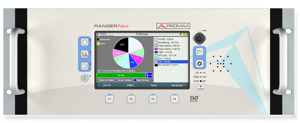 PROMAX RANGERNeo Rack 2
 PROMAX PROWATCH Neo
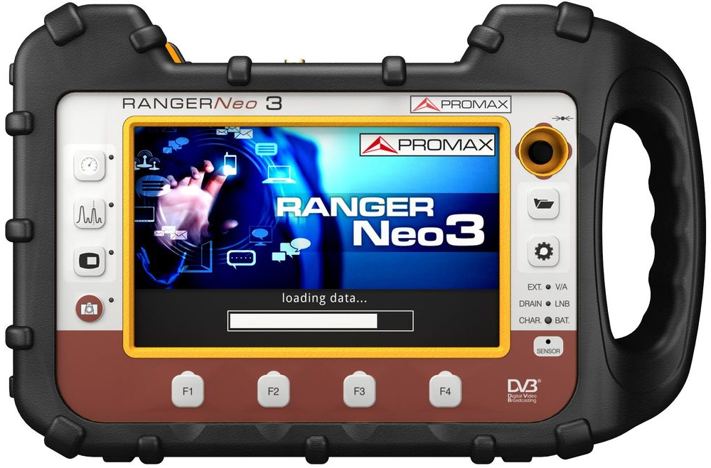 PROMAX RANGERNeo 3
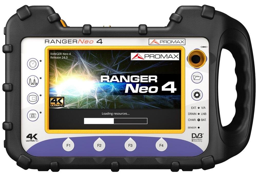 PROMAX RANGERNeo 4
  High class field strength meter Ranger Neo 4 and spectrum analyzer with 4K decod
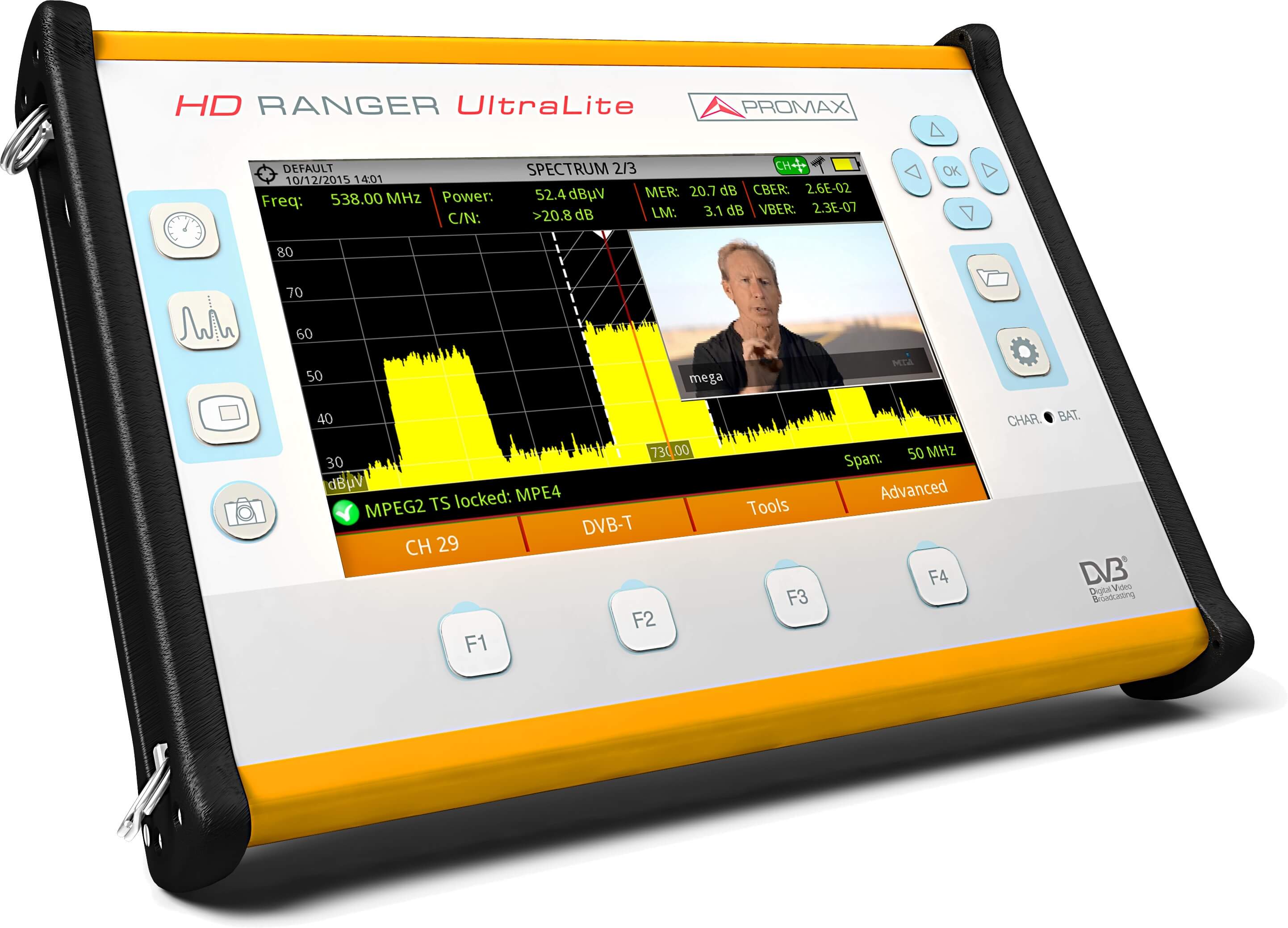 HD RANGER UltraLite : The tablet-sized field strength meter
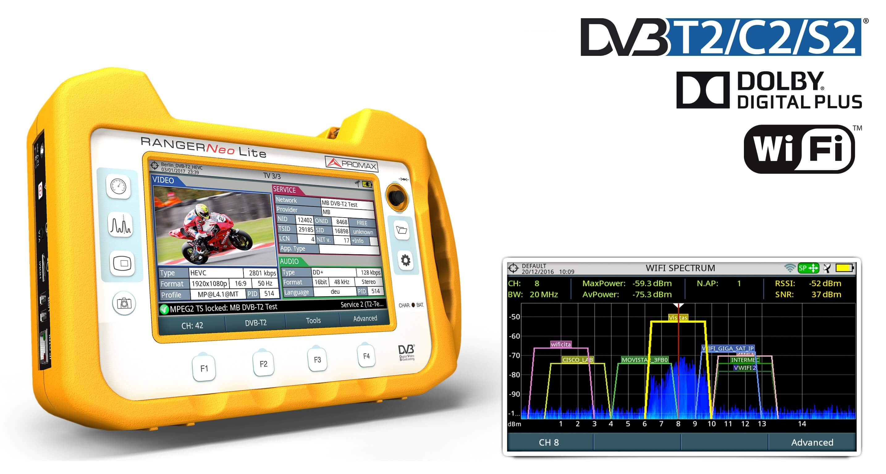 RANGER Neo Lite: Multi-function TV and Satellite spectrum analyzer /WIFI analyse
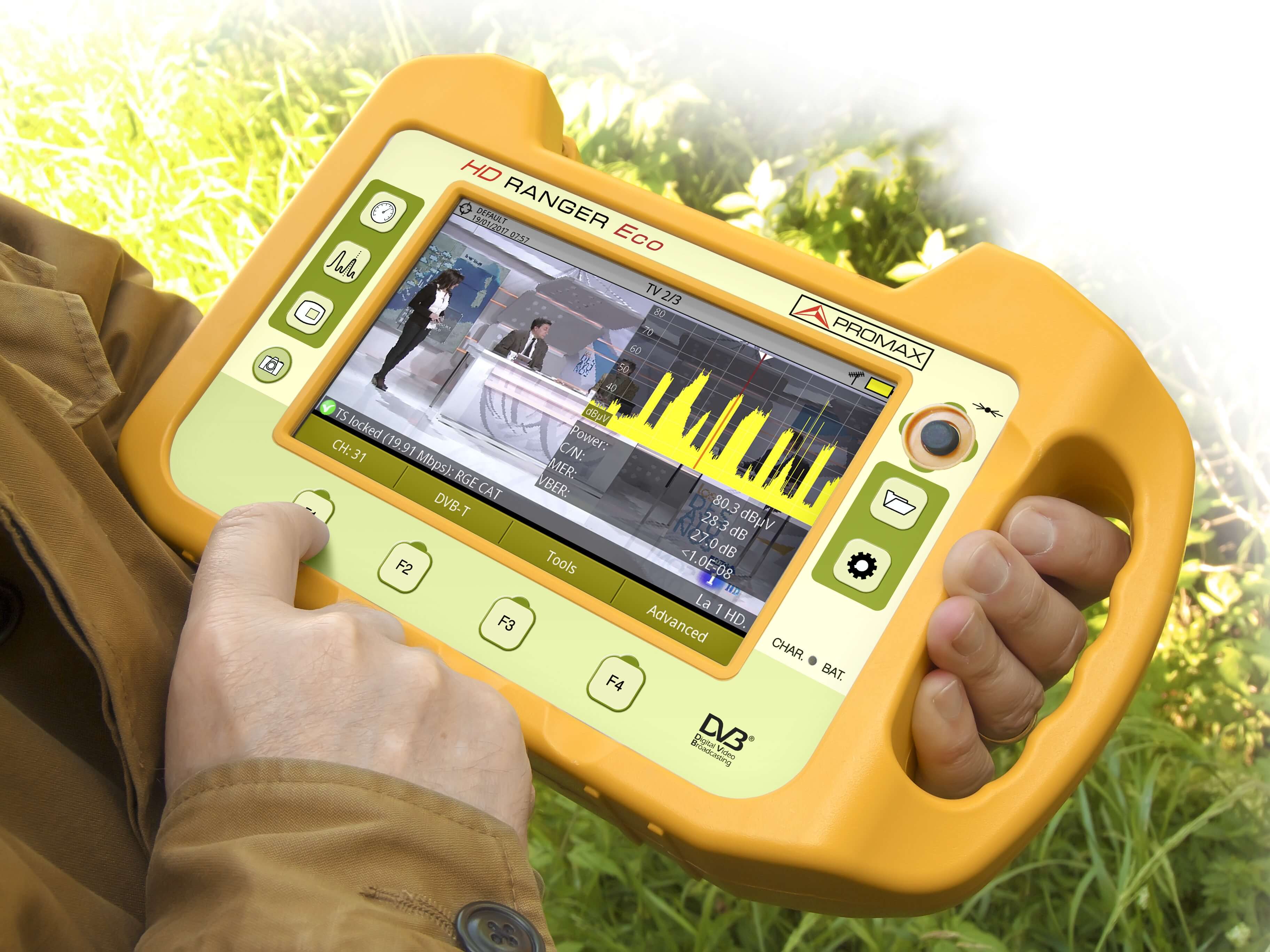 HD RANGER Eco : Field strength meter
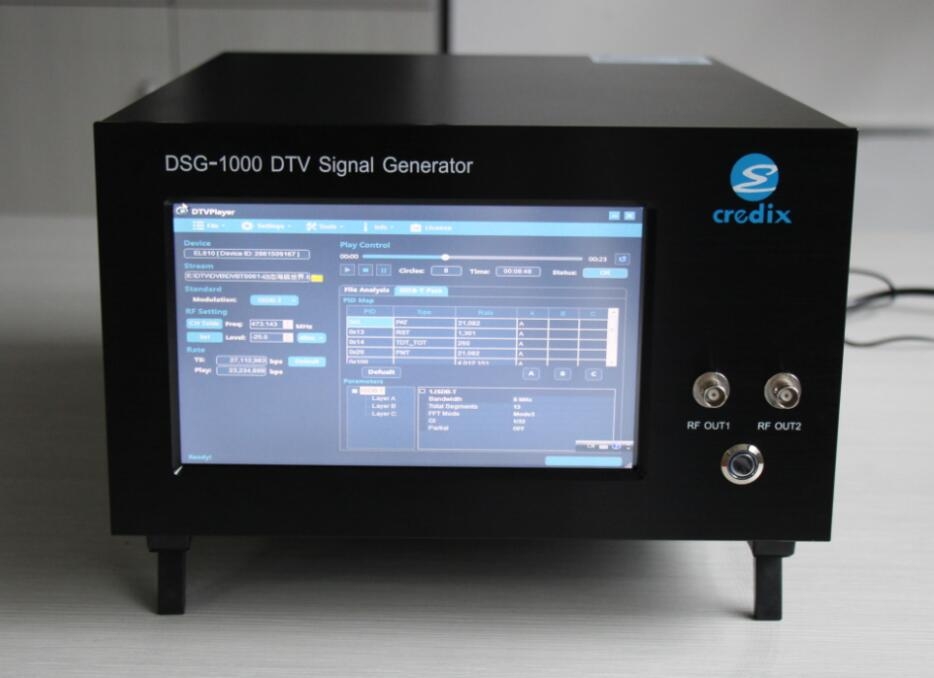 DTV Signal Generator DSG-1000